Phase 1 Survey
A Phase 1 survey will describe all of the habitats on your site according to the standard method. Individual features or species of interest such as uncommon plants or semi-natural habitats will be pinpointed with descriptive target notes with GPS generated coordinates to aid relocation. The survey report will describe what you have on your site and tell you what habitats are of value in biodiversity terms.
An Extended Phase 1
This type of survey also maps the habitats present as a standard Phase 1 survey but supplements this with spot checks for protected species and an evaluation of the suitability of the habitat for protected species. The extended Phase 1 survey report will give clear recommendations for the requirement for further specialist surveys. This is often the best starting point in any project as it will contribute to decisions on what to include in protected species survey work.
National Vegetation Surveys
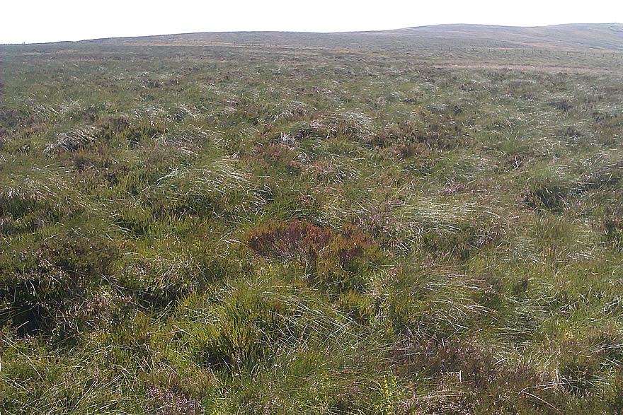
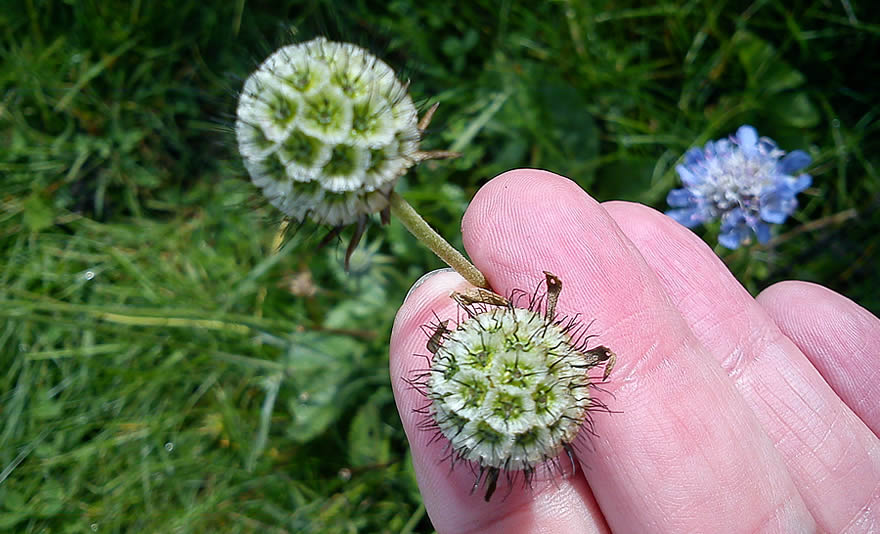
Some sites may need a more in-depth survey. An NVC survey records vegetation at a greater level of detail than phase 1 and can sample plant communities using quadrats to give a full account of what is present in context with national conservation priorities.
We can undertake NVC surveys ‘by eye’ which relies on the experience of the surveyor to identify the vegetation communities or we can provide quadrat data to give more robustness to the community descriptions. These quadrats can also be analysed using software called Tablefit which quantifies how typical the samples are to the published NVC communities. Either way, the report will incorporate descriptions of the communities found and photographs. NVC is not as user friendly as Phase 1, but is often requested by statutory authorities to support wind farm applications and other developments where ground water dependant terrestrial ecosystems (GWDTE) have to be considered.
The most cost effective approach is to ask us to undertake a Phase 1 survey and NVC survey at the same time. As we survey for Phase 1, we will identify any sensitive habitats such as Ground Water Dependant Terrestrial Ecosystems (GWDTE) and provide an NVC survey of these areas.
Further information
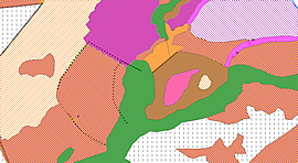
A Phase 1 habitat map which represents habitats with standard colour codes.